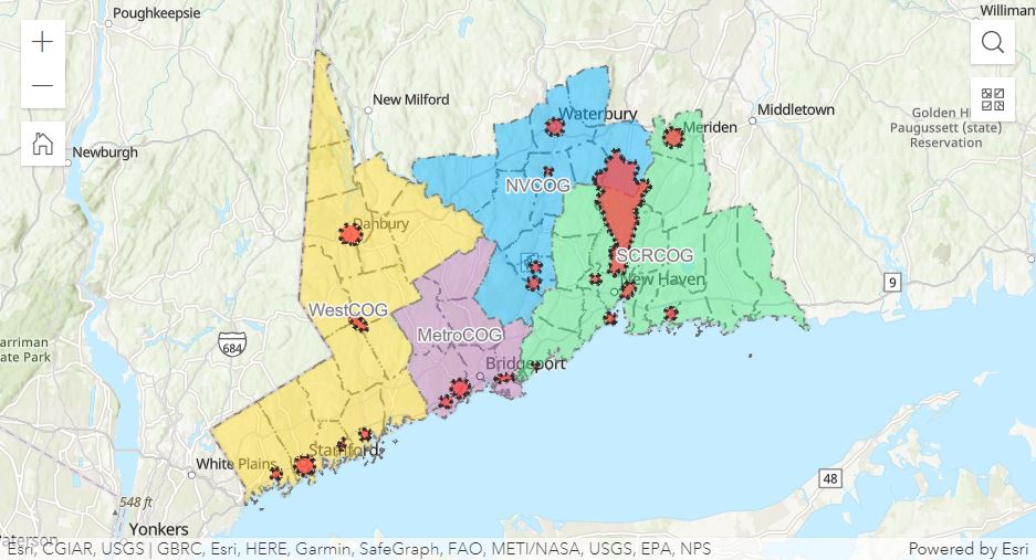
Story maps help explain the project through more dynamic images, maps, and text. Start by viewing the "Resilient Connecticut" story map to learn more generally about the project - it explains terms like vulnerability, zones of shared risk, and describes previous state planning efforts along with a new climate change vulnerability mapping tool for flood and heat. To learn more specifically about the top 20 Resilience Opportunity Areas (ROARs) identified in New Haven and Fairfield Counties, click on a story map for each of the 4 Council of Governments (COG) in the region. These "ROARs" were chosen based on vulnerability assessments as well as ongoing engagement with stakeholders to incorporate municipal and regional goals.