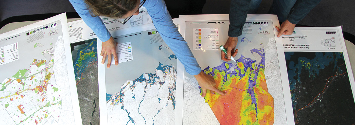
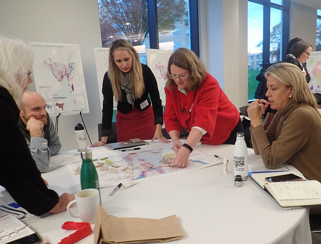
What is Resilient Connecticut?
CIRCA, in coordination with state agencies, regional councils of governments (COGs) and municipalities, has initiated Resilient Connecticut, as part of the HUD National Disaster Resilience Competition. Resilient Connecticut provides the state with a Planning Framework piloted in the Superstorm Sandy impacted regions of New Haven and Fairfield Counties and now expanded statewide. The project focuses on regional resilience and adaptation planning through engagement and risk assessments that inform municipal to regional scale initiatives and pilot projects. Resilient Connecticut’s guiding principle is to establish resilient communities through smart planning that incorporates economic development framed around transit-oriented development, conservation strategies, and critical infrastructure improvements.
Select your Resource Type, Focus Area and/or Town to access a filtered selection of Resilient Connecticut materials.
Resilient Connecticut Planning Project Locations
This interactive map shows the locations of the Resilient CT projects. Click on the blue icons to open a pop-up. In the pop-up, select "View" to access the project page for Fairfield and New Haven Counties, where you can find detailed information and the final report. Projects in RiverCOG and Southeastern COG are underway, and their pages will be created as more information becomes available. You may also access the information from this map under Phase III on the Planning Phases page.
Planning
Learn more about the Resilient Connecticut planning process including the Phase I Planning Framework, the Phase II Final Reports, Vulnerability and Assessment Reports and Maps, and the Phase III project area materials.
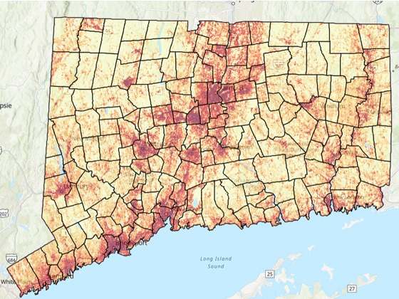
Map Viewers
View CIRCA’s maps including the Climate Change Vulnerability Index (CCVI), Resilient CT program StoryMaps, the Connecticut Environmental Justice Screening Tool, the CT Sea Level Rise (SLR) viewer, and more.
Events
Learn more about CIRCA’s past and upcoming events including the annual summit and various webinars. Access recordings, slides, and other meeting materials.
Featured Updates
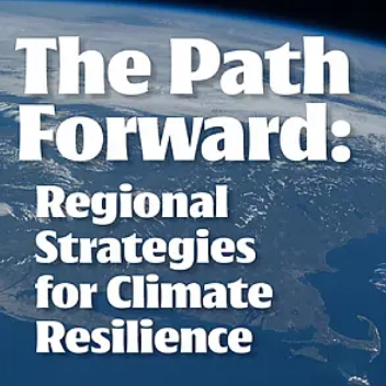
The Path Forward Earth Day Annual Conference
Join UConn Law’s Center for Energy & Environmental Law on April 17, 2026 in Hartford at the UConn School of Law for a solutions-based conference exploring the priorities and pathways toward regional resilience. Our discussion will range from law and policy to science and engineering. Panels feature historians, climate scientists, municipal planners, and even a few law professors.

Climate Resilience with CIRCA
From the Long Island Sound to Hartford and beyond, the Connecticut Institute for Resilience & Climate Adaptation uses research and community engagement to protect communities across the state from the effects of climate change.