Resilient Connecticut Planning Phases
Phase I
Planning Framework
During Phase I of the project, the CIRCA team engaged a broad range of stakeholders on the development of a Resilient Connecticut Planning Framework. This Framework guides the plans, projects, and research activities initiated during Phases II and III and builds from the range of ongoing climate adaptation activities occurring in the state. The Framework connects science-based risk assessments with innovative design strategies and applies them to planning practices. The RCPF introduces a variety of applied tools and methodologies intended to influence Connecticut's resilience planning moving forward, focusing on five themes.
Phase II
Phase II commenced in mid-2020 and concluded in December 2021. The central component of Phase II is a regional risk and vulnerability assessment for all 51 municipalities in New Haven and Fairfield Counties coupled with identification of “zones of shared risk” in the 33 municipalities of New Haven and Fairfield Counties that have potential for Transit Oriented Development. The analysis and draft products were informed by extensive stakeholder engagement, which is described in the Phase II Engagement Report.
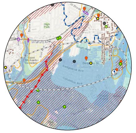
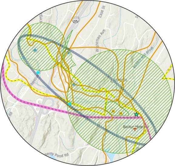
As part of Phase II's regional vulnerability assessment, 63 Resilience Opportunity Areas (ROARs) were identified and mapped to illustrate the intersection of climate induced flooding and heat risks with vulnerable populations and key regional assets. Assets include affordable housing, transportation assets, critical infrastructure, and valuable ecological systems along with other assets that impact the long-term resilience and potential of the region.
Visit the Resilient Connecticut StoryMap page on the Map Viewer tab to learn more specifically about the top 20 ROARs identified in the two counties. These 20 ROARs were chosen based on the vulnerability assessments as well as ongoing engagement with stakeholders to incorporate municipal and regional goals.
A final report is also available summarizing Phase II work and the process for identifying and refining these ROARs, which will be further explored in Phase III of the project. Other results of Phase II are captured on a Climate Change Vulnerability Index or "CCVI" products page under the "Map Viewers" tab with links to map viewers, webinars, and fact sheets.
Phase III
Phase III of Resilient Connecticut developed location specific projects and site plans that build on Phase II Resilience Opportunity Areas (ROARS) with detailed analysis for implementation. Planning and technical support teams worked with communities to develop scientifically informed adaptation strategies and conceptual designs for the seven communities below. For each project, feasibility and implementation strategies were evaluated including historic and environmental permitting considerations, as well as a cost estimates, funding pathways, and coordination and alignment with Federal and State climate resilience programs.
![Ansonia map](https://resilientconnecticut.media.uconn.edu/wp-content/uploads/sites/3830/2022/05/Ansonia-thumbnail.jpg)
Ansonia
The resilient Ansonia project focuses on adapting to current and future climate induced flooding impacts in the downtown area and mitigating extreme heat impacts for residents.
![Branford map](https://resilientconnecticut.media.uconn.edu/wp-content/uploads/sites/3830/2022/05/Branford-thumbnail.jpg)
Branford
This project will address flooding from the Branford River, which occurs when the river (a tidally-influenced estuary) overtops its banks and water flows through an underpass serving a one-way street off Indian Neck Road at the railroad grade.
![Danbury map](https://resilientconnecticut.media.uconn.edu/wp-content/uploads/sites/3830/2022/05/Danbury-thumbnail.jpg)
Danbury
In addition to critical roadways and egress routes impacted by flooding, this project will assess future conditions and adaptation alternatives to mitigate flood and heat risks for critical facilities along Main Street, existing affordable housing complexes such as Danbury Commons, and private properties and future development.
![Fair Haven map](https://resilientconnecticut.media.uconn.edu/wp-content/uploads/sites/3830/2022/05/Fair-Haven-thumbnail.jpg)
Fair Haven
This project focuses on developing adaptation strategies to mitigate current and future climate induced flooding impacts to community assets and transportation corridors, as well as developing strategies to help mitigate the impacts of extreme heat for vulnerable community residents.
![Fairfield map](https://resilientconnecticut.media.uconn.edu/wp-content/uploads/sites/3830/2022/05/Fairfield-thumbnail.jpg)
Fairfield
This project focuses on adapting to current and future climate induced flooding impacts to downtown Fairfield transportation routes where flood risk from storm surge and tidal flooding, extreme precipitation, and riverine flooding occurring simultaneously would present significant public safety challenges to residents, hinder the use of transit, and impair numerous small businesses.
![South Norwalk map](https://resilientconnecticut.media.uconn.edu/wp-content/uploads/sites/3830/2022/05/South-Norwalk-thumbnail.jpg)
South Norwalk
This project focuses on mitigating the impacts of current and future climate induced flooding that impede access to lifelines and evauation routes from key neighborhoods and community assets as well as to help mitigate the impacts of extreme heat for the community.
![Stratford South End map](https://resilientconnecticut.media.uconn.edu/wp-content/uploads/sites/3830/2022/05/South-End-Stratford-thumbnail.jpg)
Stratford South End
This project focuses on mitigating the impacts of current and future climate induced flooding that impede access to lifelines and evauation routes from key neighborhoods and community assets as well as to help mitigate the impacts of extreme heat for the community.