Resilient Connecticut
Webinar Series
Exploring CIRCA’s Latest Products
10:00 – 11:00 am

Webinar Overview
Through the Resilient Connecticut project, CIRCA has been working on a number of new tools and datasets to bring you the latest information on climate impacts. This type of information is critical as municipal, regional, and state planners identify priority conservation and development areas, site new infrastructure, and make long-term investments.
Webinar Description
Join us on this webinar to hear, learn, and explore:
- Coastal Vulnerability Index, an interactive online mapping visualization of the impact of coastal flooding and sea-level rise in Connecticut coastal towns
- Storm Return Interval Estimates and Town Data packages, annual exceedance probability of storm surge water levels and significant wave height for each Connecticut coastal towns and planning guidance package for towns
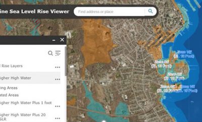
- Sea Level Rise GIS layers, 10, 30, 100 and 500-year flood maps from the new modeling results with 2050 sea-level rise estimates
- What to expect in the coming months
Webinar Presenters & Moderator
- Yaprak Onat, PhD, Assistant Director of Research, UConn CIRCA
- Joanna Wozniak-Brown, Senior Resilience Planner at UConn CIRCA
Webinar Slides
Check out the Webinar Presentation here.
Webinar Video
Stay in Touch
This webinar is part of a regular series hosted by CIRCA and involving different partners & organizations. These webinars will be available to watch live with opportunity for Q&A and a recording will be posted shortly following the event.
To receive notification about upcoming webinars, please sign up for the Resilience Roundup e-newsletter and CIRCA Announcements.
Funding for this webinar presentation is provided by the United States Department of Housing and Urban Development through the Community Block Grant National Disaster Recovery Program, as administered by the State of Connecticut, Department of Housing.

